Radar Composite (Storm Preduction Center)

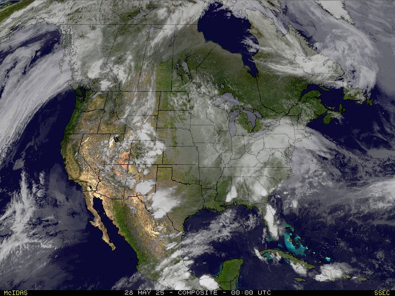
Satellite Composite (UW Space Science and Engineering Center)
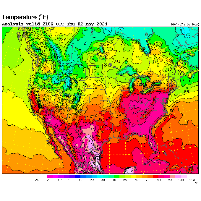
Temperature contours (UCAR)
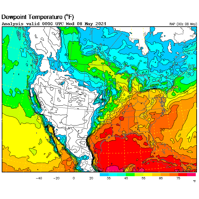
Dewpoint contours (UCAR)
The daily paper
National Weather Service (NOAA) — Green Bay
Observations
- radar imagery page
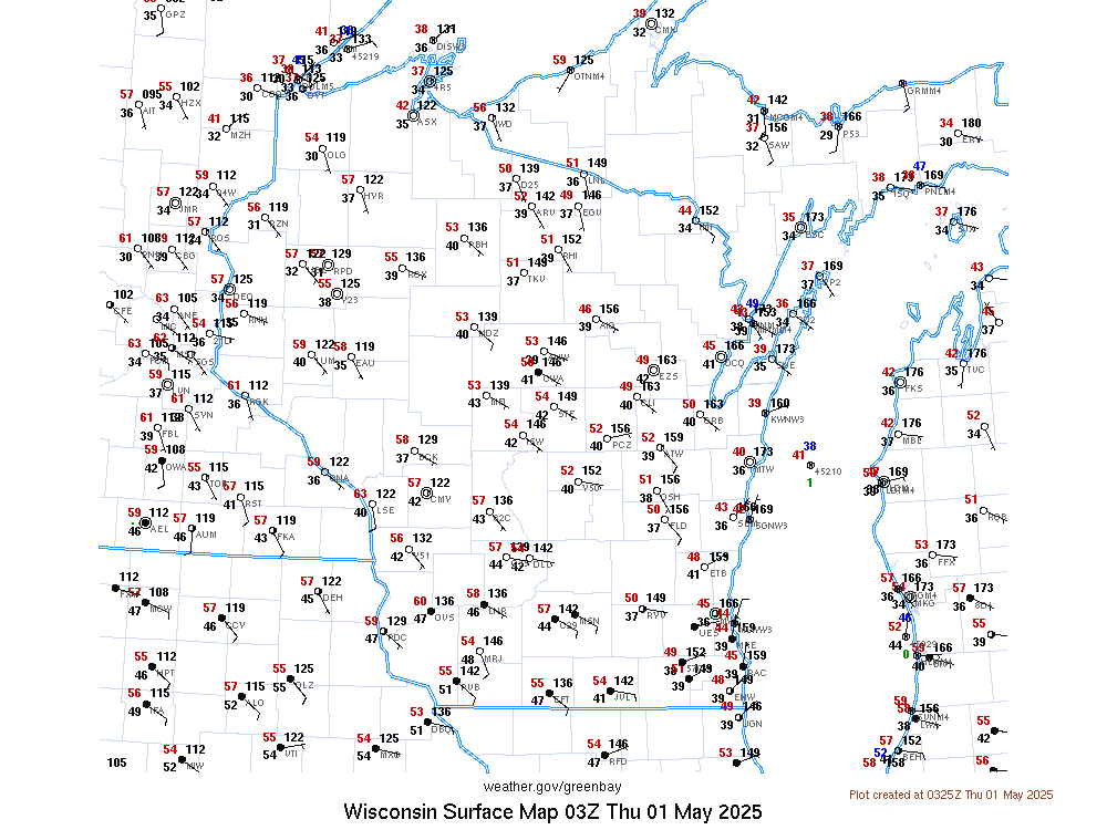
- current surface observations for Wisconsin (NWS)
- observations over past 3 days for GRB (NWS)
- ICAO airport index (Wikipedia)
- upper air conditions (NCAR)
- 30 year averages and records (NWS)
- Past day precipitation (Community Collaborative Rain, Hail, & Snow Network)
- LAMP analysis images – temperature map, dewpoint map, etc. (NOAA Localized Aviation MOS Product) [SCRIPTED]
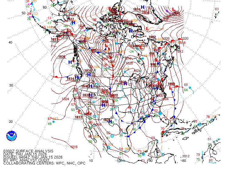
- North America analysis map (NOAA NCEP/WPC)
Forecast
- hourly forecast graphic (NWS)
- summary and forecast with cute graphics (NWS)
- technical forecast discussion (NOAA)
- ThunderStorm Prediction Center (NOAA)
- National Hurricane Center
- Climate Prediction Center (NOAA, National Centers for Environmental Prediction)
- Main model page (NCAR)
Air Quality
-
Current
AQI maps
(US EPA)
[Page shows static national map but all links are fully scripted] - Current air (Wis DNR) monitoring [fully scripted]
- AQI ranges and computation (Wikipedia)
Other weather services
- WMO world weather [fully scripted]
-
Meteorological Service of Canada
- Canada weather office main page
- national surface summary (map and table)
- jet stream map
- data
 Valid HTML5